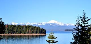
Lake Almanor Information
Next
refresh
in
seconds
Road Conditions and Maps
Map Road Info
Text Road Info
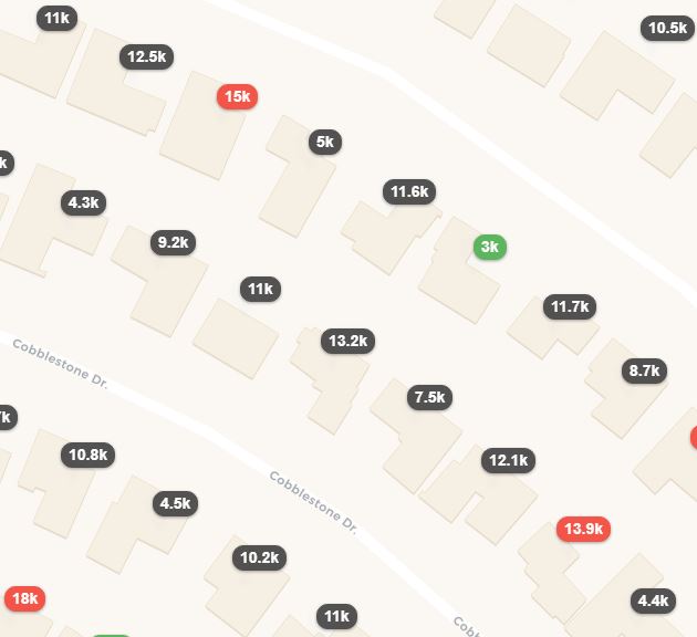
CA Property Tax Map
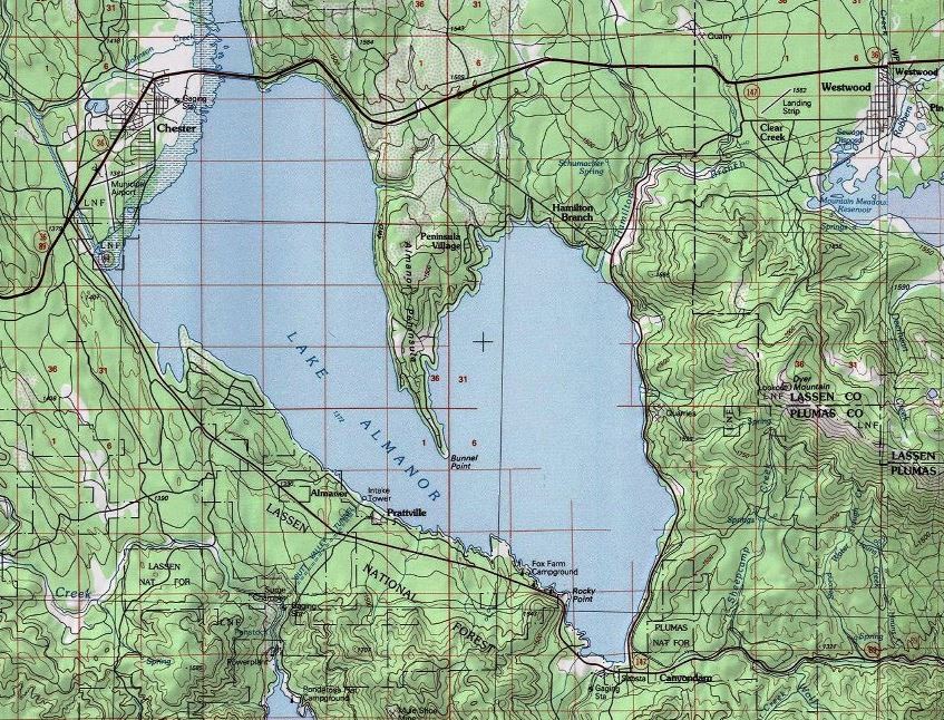
CA Topo Map
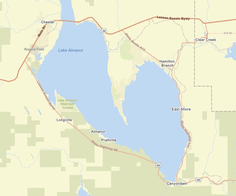
CA Street Map
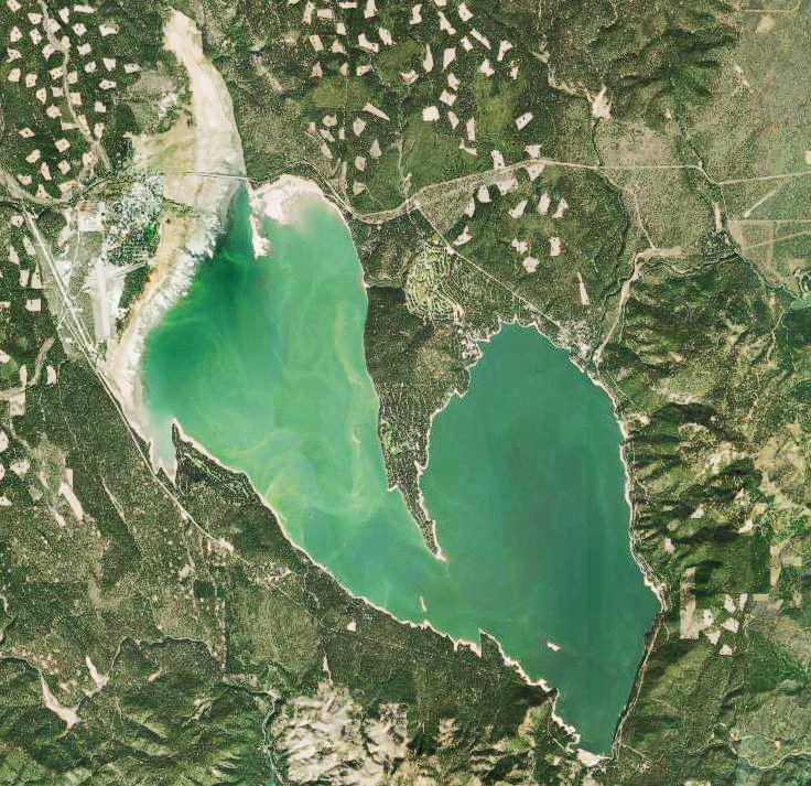
CA Image
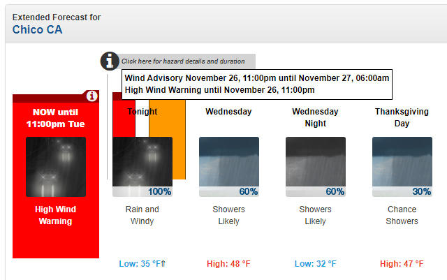
Weather Info
Lake Almanor Hourly Forecast
Lake Almanor 7 Day Forecast
Curent radar
Satellite
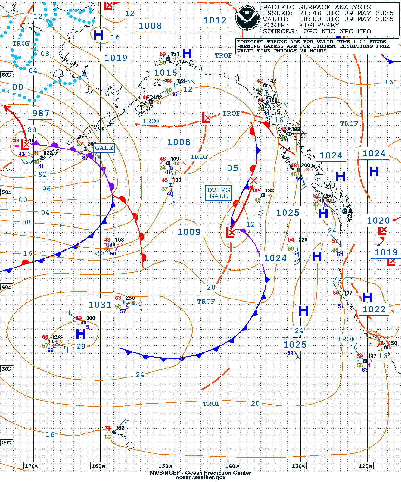
Surface Pressure
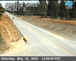
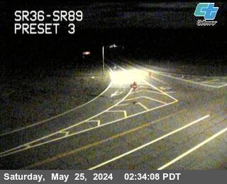
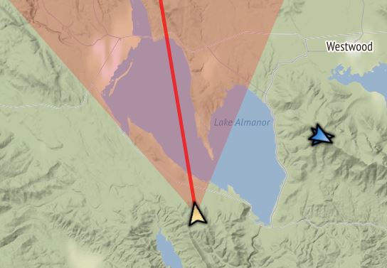
Road Webcams
#36 and A13 east of Chester
Johnson Grade,
#36 and #89,
west of Chester
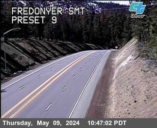
#36 Fredonyer Summit
#44 & #89
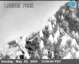
Lassen Park
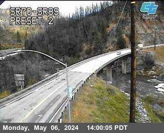
#70 and #89
Feather River Canyon
Scenic Webcams
Dyer Mountain
cameras
Butt Reservoir
camera
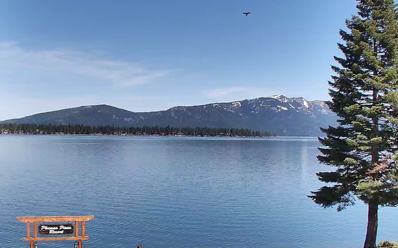
Plumas Pines Webcam
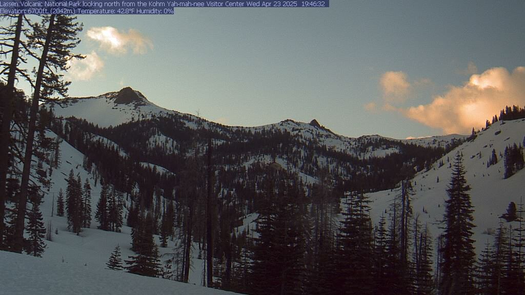
Lassen Visitor Center
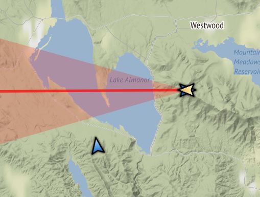
Current CA Winds
Useful Sites
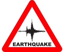
SCSN earthquakes
SCEDC earthquakes
SCDEC classic
CDF Recent Fires
ArcGIS Recent Fires
PG&E Outages
Air Pollution in California
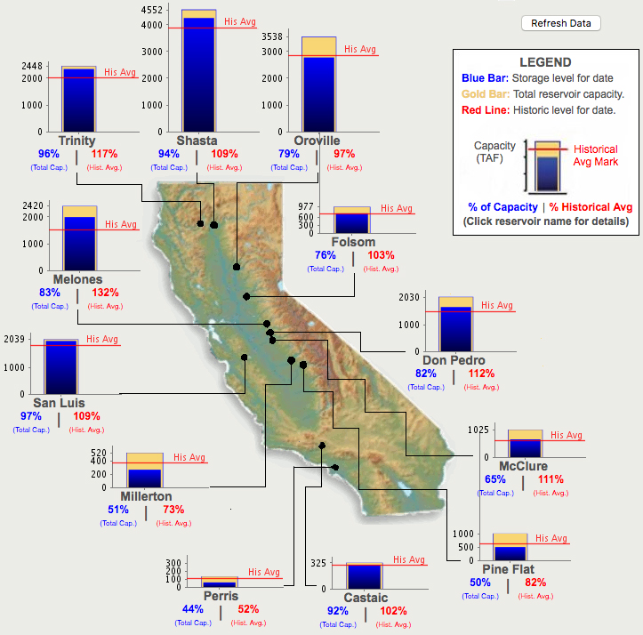
Water
Current Lake Almanor Level
Ten-year Levels
CA Reservoir Levels
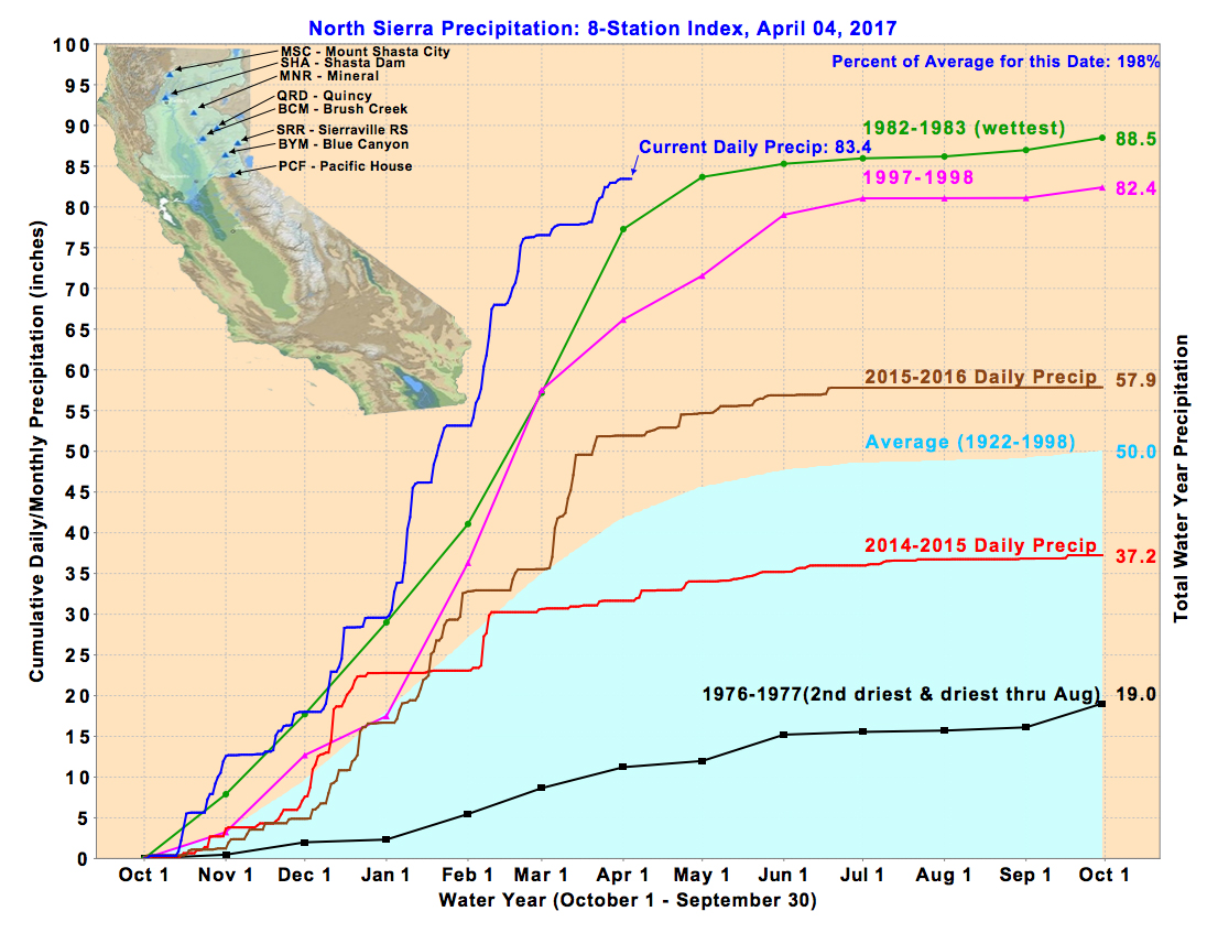
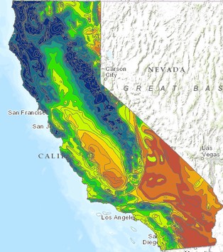
CA Precipitation Levels
>
CA Rainfall
to Date
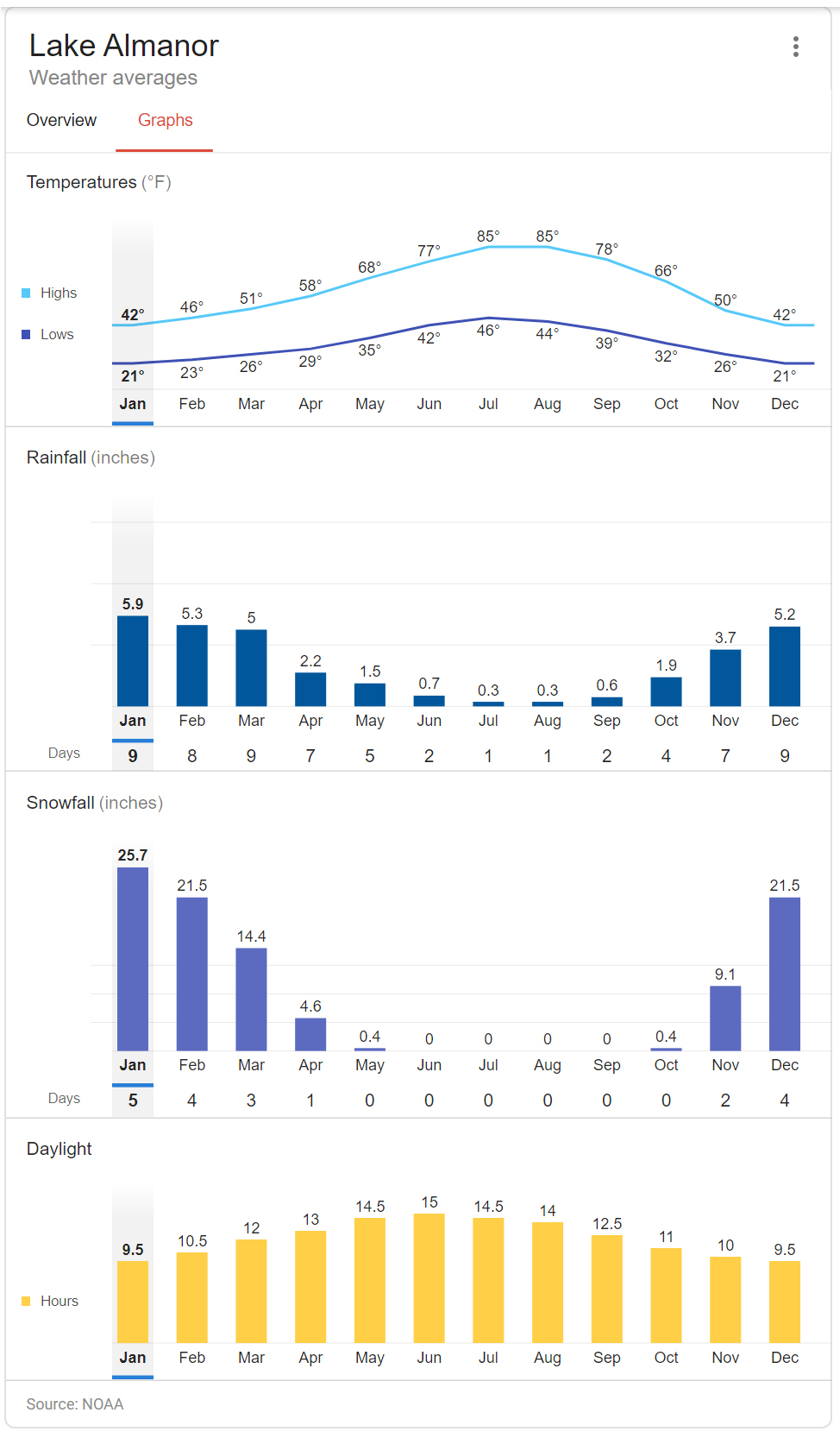
Lake Almanor Climate
Local Information
Chester Data
Lake Almanor Area
Chamber of Commerce
Plumas County
News
Current Chester NWS
Monthly Chester NWS
Other Information
2013 Almanor Earthquake
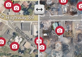
2021 Dixie Fire Before and After
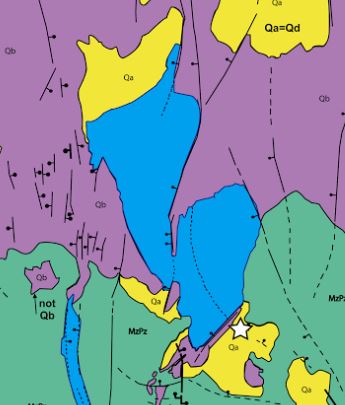
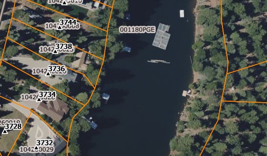
Plumas County Parcel Map
Link to
Chico Info